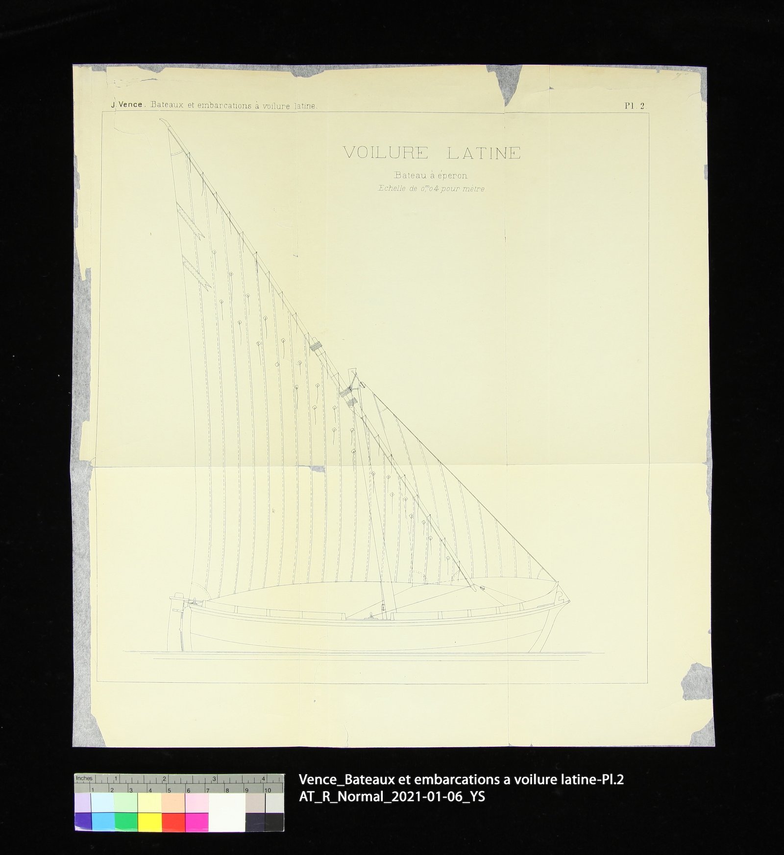
The ten maps are from the book Construction & manœuvre des bateaux & embarcations à voilure latine: pêche, batelage, pilotage, plaisance… (1897). Each map has a plate number in the upper right corner, except for one, which lacks any bibliographical information. The maps are printed single-sided in black printer’s ink on machine-made paper, with varying dimensions and aspect ratios. Although currently unfolded, the maps show folding lines, likely from being folded to fit the size of the book.
The paper is overall very brittle with browning along the edges. Numerous small tears and losses are visible on the edges, corners, and folds. Previous mends are present along the folds on the verso, with a few on the recto. Some maps also have repairs along the perimeter, as well as to address losses and larger tears. These previous mends caused cockling and tidelines, and appear to have been done with long-fibered Asian paper. Two maps (Pl. 6 & 7) have pressure-sensitive tape on the verso. Except for Pl. 4, all the maps bear a blue ownership stamp on the verso that reads “THE JOHN CRERAR LIBRARY.”
Treatment Note
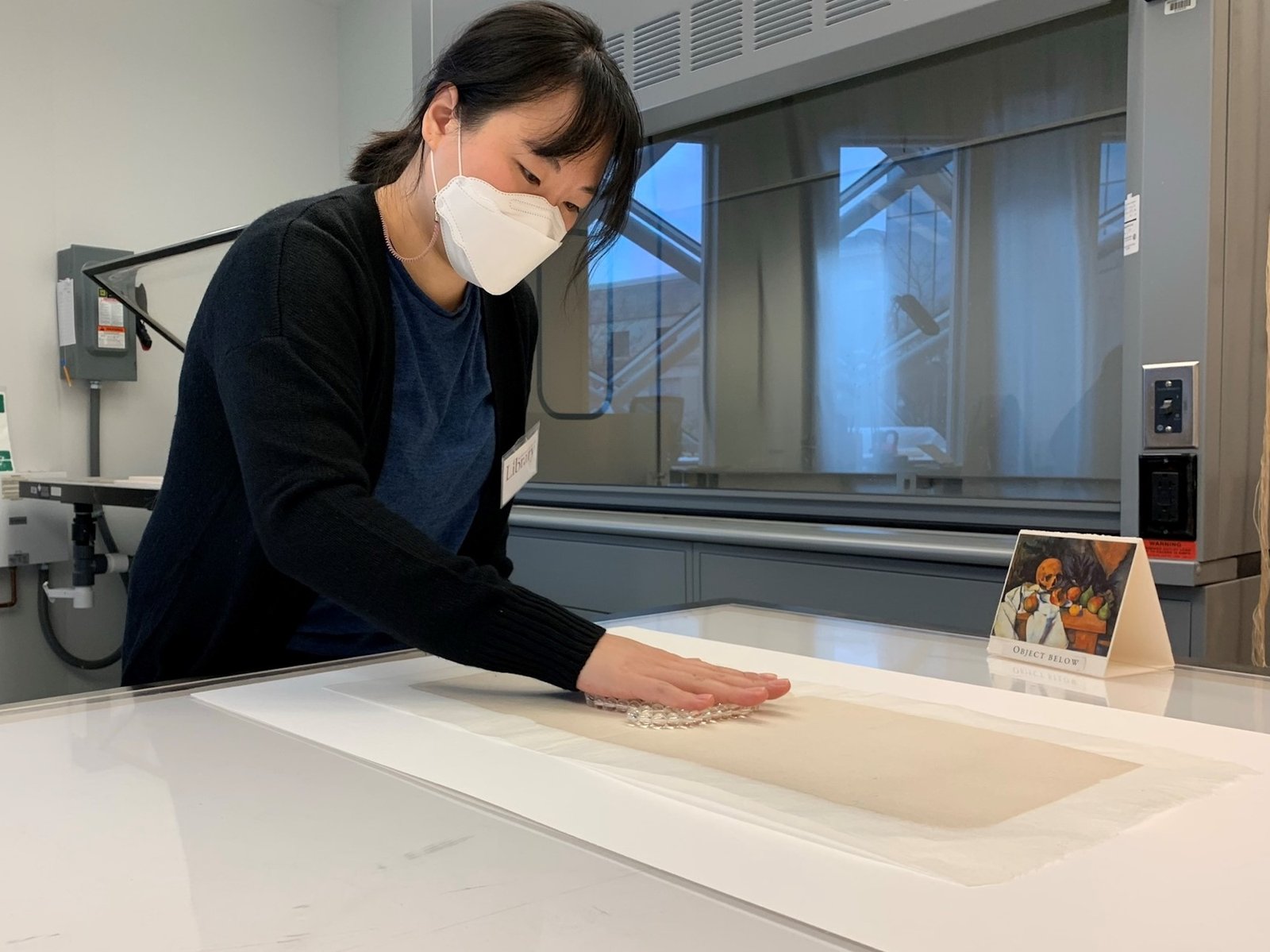
The ten maps were lined with Uso Mino Thin (12 gsm) Japanese paper using wheat starch paste. Prior to lining, the maps were immersed in deionized water to fully wet the paper, which facilitated the easy removal of previous mends and helped reduce cockling and tidelines.
After lining and drying, some maps exhibited undulations. These were addressed with additional steps of humidification and flattening. Finally, each map was encapsulated individually for protection. This treatment was conducted in consultation with Ann Lindsey.